What is the IVS?
The International VLBI Service for Geodesy and Astrometry (IVS) is an international collaboration of organizations that operate or support VLBI instruments and activities. (To learn about VLBI, please see VLBI: frequently asked questions.) It was established in 1999.
What does the IVS do?
The IVS provides products (data) and analysis (services) to support research and operations within the VLBI community. We also promote and support VLBI research and development. The IVS works with the VLBI community to integrate VLBI information into a global Earth observing system.
IVS data and products
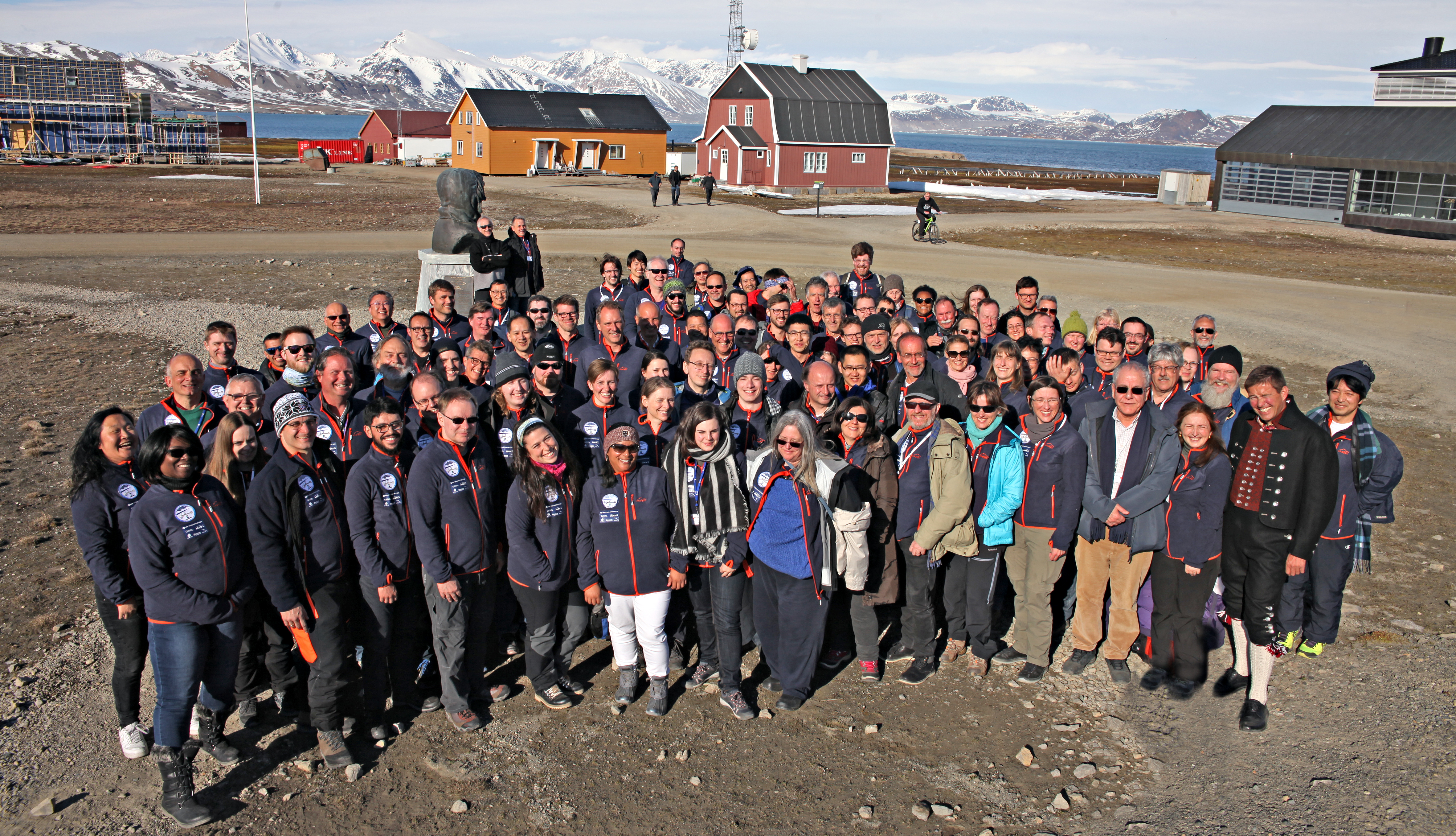
IVS data, which comes from VLBI institutions around the globe, is acquired by network stations, processed by central correlators, and analyzed at analysis centers, where the products are generated. IVS data and services support a wide range of geodetic, geophysical, and astrometric research and activities. Operations are managed by the IVS Coordinating Center. Other IVS components include analysis centers, data centers, and technology developments centers. Many institutions and individuals keep the IVS network up and running and contributing to geodesy and astronomy.
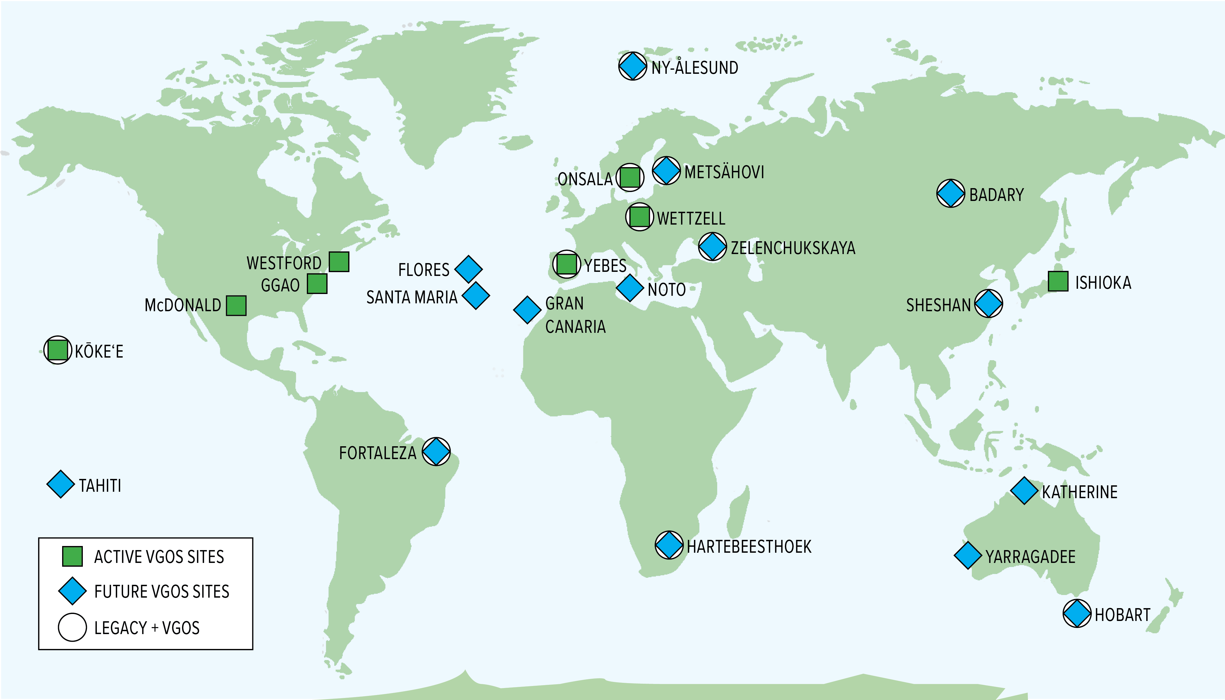
IVS stations are located around the globe, and the network is expanding! New stations are being built and incorporated into the IVS network, across North and South America, Europe, Africa, Asia, and Australia.
For details on the types of data and services provided by the VLBI and their applications in science and technology, please see our page on VLBI: frequently asked questions.